Vrads Sande
Aarhus, Denmark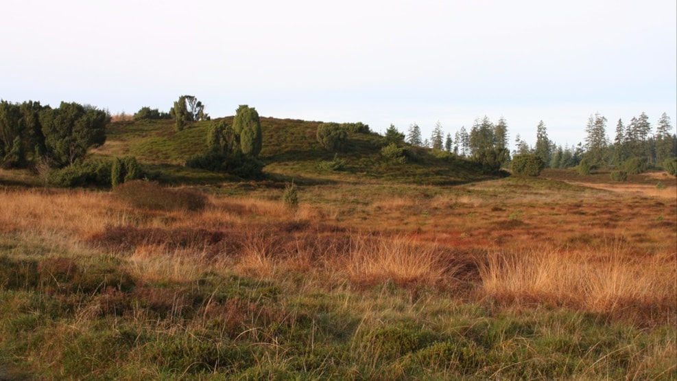
Vrads Sande is characterised by inland dunes formed by the sand drift which devastated large parts of Jutland from the 16th to the 19th century. A large part of the area – some 146 hectares – became a conservation area in 1968. It is a large, pan-shaped depression in the landscape with steep slopes dropping down to a small heathland lake. In addition to the dip, there are scattered small, overgrown dunes and remains of meltwater terraces. East of an intersecting road is an area of dense heather and juniper vegetation, while the area to the west is grassy heathland. An area of 300 hectares around Snabegård, immediately east of Vrads Sande, was designated a conservation area in 1976; it borders the rivers Salten Å and Lystrup Å, and is traversed by the Horsens–Silkeborg nature trail. Signposted trails offer experiences in an area rich with birdlife.
Together, Ravlling and Visit Denmark encourage travel in Denmark.

Click here to find out more about our partnerships
Discover more


Get inspired
Browse around the most wonderful green travel destinations, stays and experiences.
Booking is easy!
Get inspired
Browse around the most wonderful green travel destinations, stays and experiences.
Booking is easy!
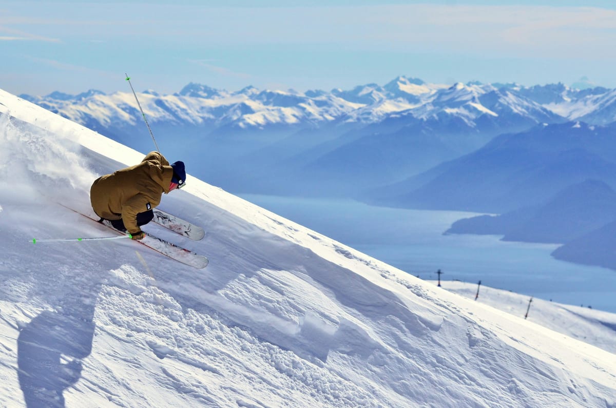
Winter getaways for fun and adventure

Find your perfect ski destination

Discovering french alpine retreats

Chase the magic and discover where to see the Northern Lights

The best spots for wildlife watching on water

Fun family activities for winter adventures

Discover the charm of cozy cabins

Husky sledding & Finnish lapland wonders

Ravlling is a proud partner of almost 100 local tourist offices


